Payl:Map of Colorado highlighting El Paso County.svg

Size of this PNG preview of this SVG file: 800 x 579 ka mga piksel. Uban pang mga resoluyon: 320 x 232 ka mga piksel | 640 x 463 ka mga piksel | 1,024 x 741 ka mga piksel | 1,280 x 927 ka mga piksel | 2,560 x 1,853 ka mga piksel | 1,558 x 1,128 ka mga piksel.
Tibuok resolusyon (SVG nga payl, nominally 1,558 × 1,128 pixels, size sa payl: 64 KB)
Mubong sugid:
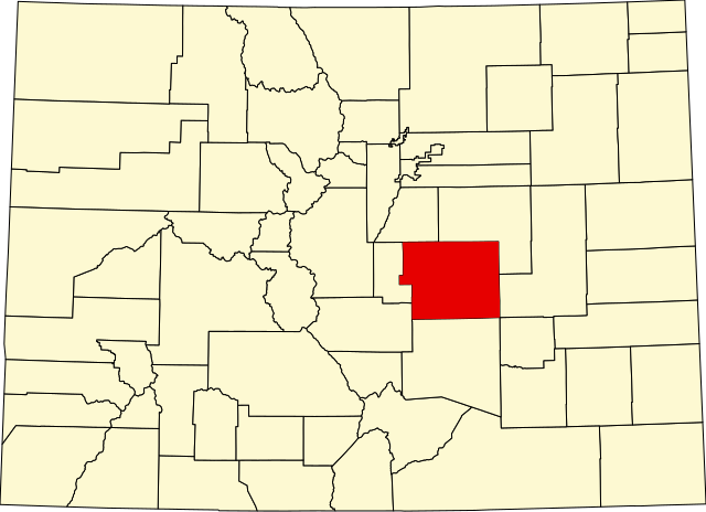
| Deskripsyon | English: A map of Colorado highlighting El Paso County. For more information, see Commons:United States county locator maps. |
| Petsa | |
| Gigikanan | Kaugalingong trabaho: English: The maps use data from nationalatlas.gov, specifically countyp020.tar.gz on the Raw Data Download page. The maps also use state outline data from statesp020.tar.gz. The Florida maps use hydrogm020.tar.gz to display Lake Okeechobee. |
| Tagsulat | David Benbennick |
Pagtugot
| I, the copyright holder of this work, release this work into the public domain. This applies worldwide. In some countries this may not be legally possible; if so: I grant anyone the right to use this work for any purpose, without any conditions, unless such conditions are required by law. |
Kaagi sa payl
I-klik ang petsa/oras aron makit-an ang hulagway sa payl niadtong panahona.
| Petsa/Takna | Thumbnail | Mga dimensyon | Tiggamit | Komento | |
|---|---|---|---|---|---|
| kasamtangan | 21:06, 24 Hunyo 2024 | | 1,558 × 1,128 (64 KB) | Nux | fix rendering (remove clipping) |
| 05:42, 13 Pebrero 2006 |  | 6,234 × 4,511 (67 KB) | David Benbennick | New version, smaller file size |
Mga paggamit sa payl
Ang mosunod nga mga panid misumpay niining payl:
Global nga paggamit sa payl
Kining ubang wiki naggamit ning maong payl:
- Paggamit sa ar.wikipedia.org
- Paggamit sa be.wikipedia.org
- Paggamit sa bg.wikipedia.org
- Paggamit sa bpy.wikipedia.org
- Paggamit sa cdo.wikipedia.org
- Paggamit sa ce.wikipedia.org
- Paggamit sa cs.wikipedia.org
- Paggamit sa cy.wikipedia.org
- Paggamit sa de.wikipedia.org
- Paggamit sa en.wikipedia.org
- Colorado Springs, Colorado
- List of counties in Colorado
- El Paso County, Colorado
- Air Force Academy, Colorado
- Black Forest, Colorado
- Calhan, Colorado
- Cascade-Chipita Park, Colorado
- Cimarron Hills, Colorado
- Fort Carson
- Fountain, Colorado
- Gleneagle, Colorado
- Manitou Springs, Colorado
- Monument, Colorado
- Palmer Lake, Colorado
- Ramah, Colorado
- Stratmoor, Colorado
- Woodmoor, Colorado
- Security-Widefield, Colorado
- Falcon, Colorado
- Cascade, Colorado
- Peyton, Colorado
View more global usage of this file.
Metadata
🔥 Top keywords: Unang PanidPorn hubEspesyal:PangitaIkaduhang Gubat KalibotanonWikipedia:Mahitungod sa WikipedyaWikipedia:Mga pagpasabotWikipedia:TubaanEspesyal:Bag-ongGiusabEspesyal:AkongHisgotTabang:Mga sulodMickey MouseContactWikipedia:Mga panghitaboSuperMarioLoganWikipedia:Maayong pag-abot, higala!WikipedyaWikipedia:Talaan sa sulodPayl:BaybayinSample.svgYa Lil (Ramage awit)Naked BoyTrachelophorus giraffaPornograpiyaInskip-with-SowerbyCalappaPornhubRosaryoQáqaqFutai-damuGobolka Jubbada HooseDelonix regiaGajraj Bahadur NagarOstralyaMamarchevo1200Wikipedya:TabangEspesyal:AkongTampoWikipedia:Talaan sa mga ganghaanGumagamit:LsjbotWiki